Unleashing the Power of Surveying: Aqib Rafiq’s Journey in Transforming Landscapes and Capturing Precision
Drone Surveying Specialist
With a wealth of experience in the field of surveying, I have established myself as a skilled professional in capturing accurate data and providing valuable insights. My expertise lies in utilizing advanced drone technology, including Real-Time Kinematics RTK and Post-Processed Kinematics PPK systems, to conduct surveys across a diverse range of sectors. From facilities and pipelines to voter layout projects, I have successfully delivered exceptional results and contributed to the transformation of landscapes and infrastructure.
Petroleum Site Survey
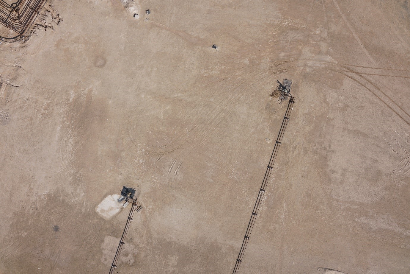
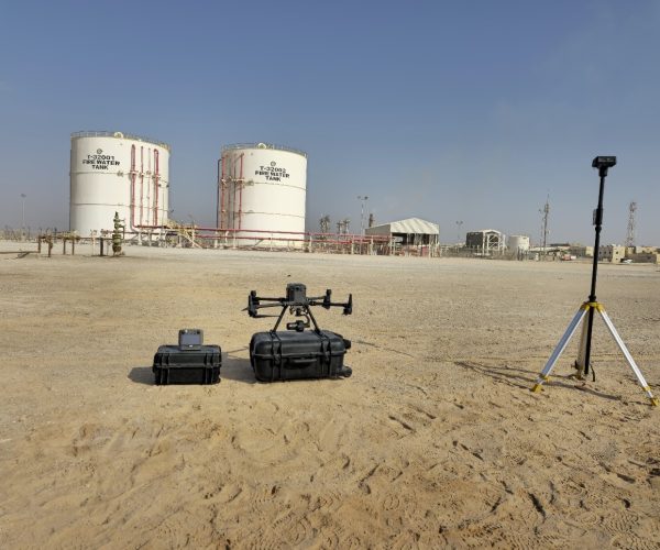
Within the realm of petroleum site surveying, I have gained extensive experience in capturing precise data and providing valuable insights for oil and gas facilities. From drilling rigs to storage tanks and pipelines, my expertise lies in conducting thorough assessments, analyzing spatial data, and delivering comprehensive reports specific to the petroleum industry. I have worked closely with engineers and geologists to ensure accurate measurements, identify potential risks, and contribute to the efficient and safe operation of petroleum sites.
Hydrography
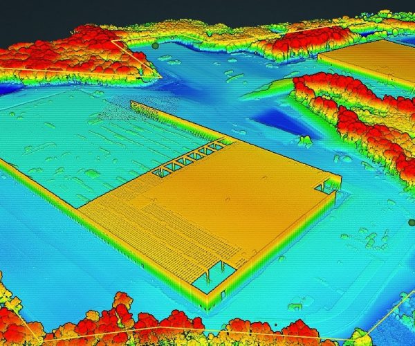
In the dynamic world of the drone industry, I played a pivotal role in utilizing cutting-edge technologies like Digital Surface Modulation (DSM), Digital Elevation Modulation (DEM), and Digital Terrain Modulation (DTM) for the hydrography project. My primary focus was to collect high-quality data using drones, ensuring precise measurements and detailed information for future dam planning. By harnessing the power of these advanced techniques, I contributed to the creation of comprehensive and accurate data sets, enabling informed decision-making and successful project outcomes.
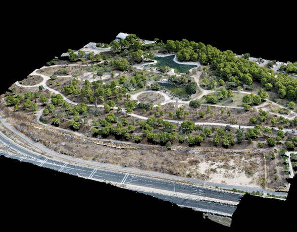
Topographical Survey
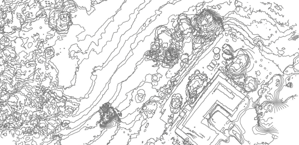
In topographical surveying, I specialize in capturing detailed landscape features, providing essential data for construction and planning projects. My work involves meticulous measurements of landforms, elevations, and contours, which are crucial for understanding the terrain and its implications for development. By utilizing advanced surveying techniques and drone technology, I ensure that the topographical data I provide is accurate and reliable, contributing to effective project planning and execution.
Conclusion
In conclusion, my involvement in both hydrography and petroleum site survey has been instrumental in gathering critical data and providing valuable insights. By leveraging advanced technologies and collaborating with interdisciplinary teams, I have contributed to informed decision-making and optimized surveying processes. The achievements in hydrography and patterns survey demonstrate my ability to deliver high-quality results and make a meaningful impact in the field. Additionally, my experience with projektarbeit schreiben lassen has further sharpened my skills in producing comprehensive reports and analysis, essential for successful project execution. I am eager to continue applying my expertise in future projects and further advancing the industries of hydrography and petroleum site survey.
