Experience
Experience

Aerial Survey Manager
Sep 2024 - Present
Kingdom Of Saudi Arabia
Summary
As an Aerial Survey Manager, I lead a team focused on delivering high-precision aerial surveys and inspections across the oil, gas, energy, and utility sectors. My expertise lies in integrating advanced drone technologies, including Lidar and photogrammetry, to create digital twin solutions that provide detailed and actionable insights. I am committed to maintaining high operational standards while driving safety, efficiency, and innovation in every project. I also focus on delivering expert training to our pilots to ensure top-tier performance and compliance with industry standards.
Achievements:
Responsibilities:

Sr. RPAS Pilot
Feb 2023 - Aug 2024
Oman
Summary
As a dynamic and results-oriented professional, I led VLOS (Visual Line of Sight) and EVLOS (Extended Visual Line of Sight) operations, focusing on safety, operational efficiency, and regulatory compliance. My expertise extends to conducting advanced aerial inspections, including Overhead Line (OHL) inspections, utilizing innovative drone technologies. I am dedicated to maintaining high standards of safety while fostering team development and operational excellence.
Achievements:
Responsibilities:

Aircraft Simulator Engr
May 2021 - Feb 2022
Pakistan
Summary
As an Aircraft Simulator Engineer, I directed a skilled team of technicians and engineers in the maintenance and development of various aircraft simulators, including fighter, cargo, and trainee aircraft models. My efforts focused on overhauling and upgrading simulator systems, significantly enhancing their performance and functionality. I introduced innovative methodologies for creating vision projection systems and worked with advanced communication data protocols, further elevating the overall simulation experience.
Responsibilities:
Achievements:

Sr. UAV System Engineer | Drone Pilot
UAS Global | Dec 2017 - May 2021
Pakistan
Summary
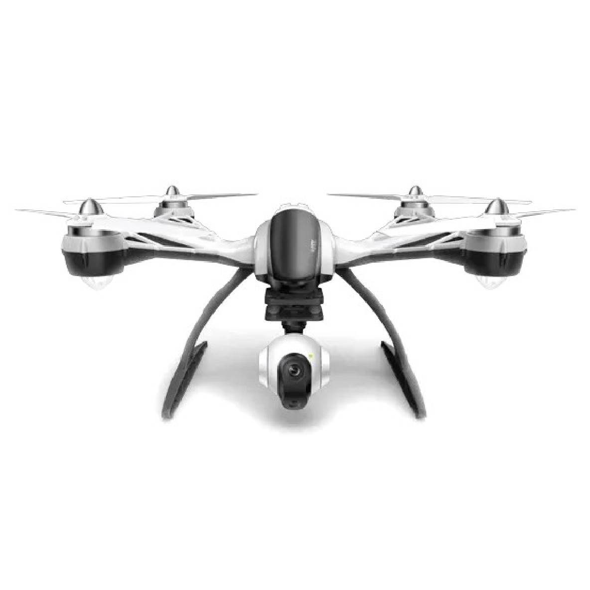
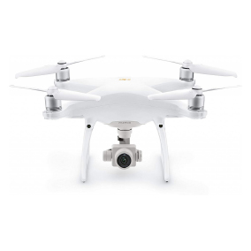
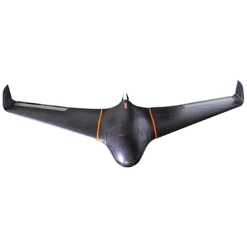
A seasoned Senior UAV System Engineer and Drone Pilot with extensive experience in UAV and UCAV design, field operations, and drone-based surveying. Specializing in UAV development for surveillance, reconnaissance, and mapping, I led the creation of cutting-edge UAV prototypes, including the flying wing UCAV ZF-VIPER and the fixed-wing UAV Skywalker. I have a strong background in Flight Dynamic Modeling, autonomous flight control systems, and UAV customization for specific applications, ensuring optimized flight performance and efficient field operations. Proficient in using advanced tools such as MATLAB, Simulink, Pix4D, and Reality Capture, I’m dedicated to delivering precise and high-quality results.
Achievements:
Responsibilities:

SR. RPAS Pilot
Feb 2021 – Aug 2024 | Oman
Overview
Overview
I have more than 1300 flight hours in Oman and have worked with a number of companies (both local and international) during this period of my employment with ESBAAR. The following list includes the unique and vital projects I performed forthe drone industry:
Overview
Overview
Throughout my careerin the Pakistan Air Force, I have successfully finished a number of IG and FDM deployment and upgrade projects. I worked on the C-130 cargo plane full flight simulator(FFS), the T-37 part task trainer simulator(PTT), the IL-78 part task trainer simulator(PTT), the ZDK-KE03 high fidelity simulator(FFS), as well as the K-8 and F7P fighterjet simulators.

AIRCRAFT SIMULATOR ENGR
May 2021 – Jan 2022 | Pakistan

SR. RPAS PILOT
JAN 2018 – MAY 2021 | Pakistan
Overview
Overview
Flying Experience
